New Year’s resolutions at Cumbre del Sol (III): exercising with cycling routes
Everyone knows that the most popular new year’s resolution is to do more exercise. A resolution that translates to a huge number of gym memberships and a huge number of cancelling and leaving said membership the next month.
At VAPF, we support living a healthy lifestyle, and lucky us that our surroundings support exercise too! Especially when it comes to outdoor sports. That’s why for this 2022, we propose that your new year’s resolutions include exercise, but with a twist: that you exercise in and around Residential Resort Cumbre del Sol.
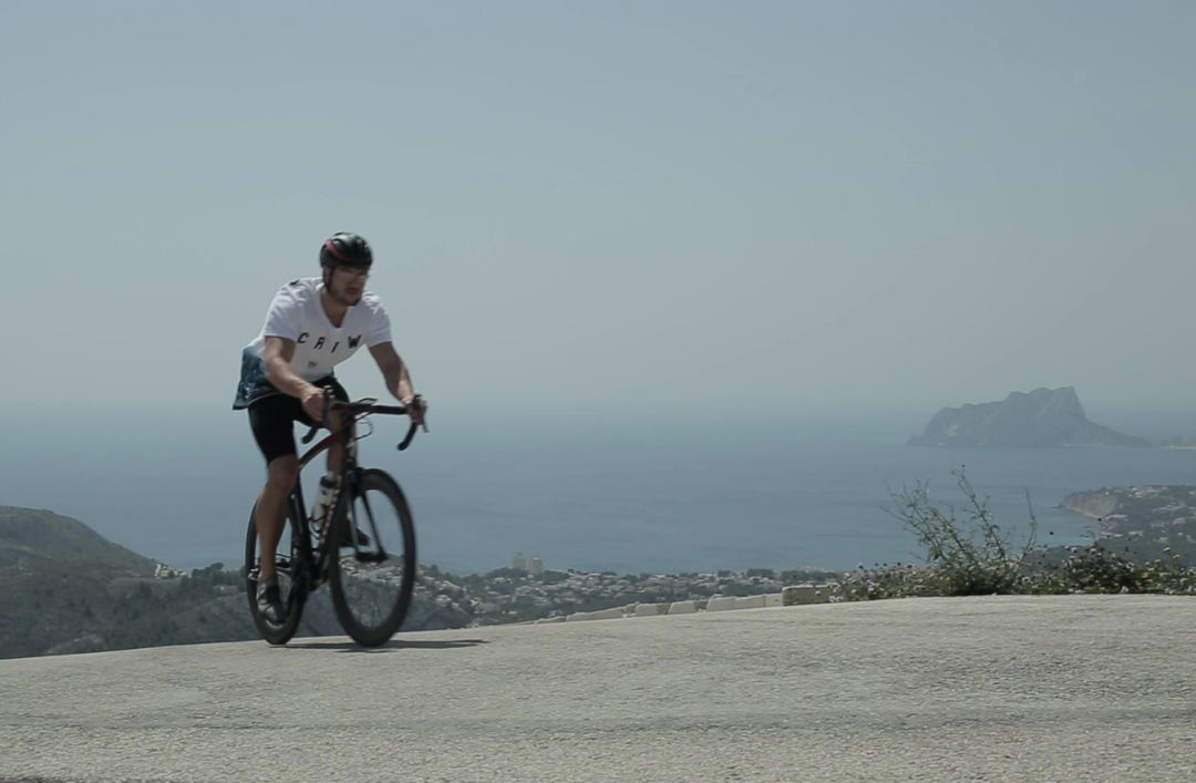
And what better way to work out than to cycle! It has many benefits: you can go long distances, do it with family whilst enjoying the countryside – both sea and mountain – and, of course, you’re working out every part of your body!
The Montgó Route
As we’ve said in other blog posts, the area surrounding Residential Resort Cumbre del Sol stands out for its beauty and versatility. With the sea being featured on pratically every postcard in the towns and cities of Costa Blanca, the mountain is another reason to go. One such place is the Montgo Natural Park in Denia. Its expanse and its over 700 metres in height turn it intothe lungs of the Alicante province.
Apart from its hiking routes, there are also cycling routes in the Montgo natural park. There are two easy paths that can be done in a day that are also circular, starting and finishing in Denia. The first starts in Camí de la Colònia and ends in Cova del Gamell. The second goes through Denia to La Xara to Jesús Pobre to Javea to Javea Port.
Both lead you around the countryside where you can get to know the place on all fronts: its agriculture, geography and its flora and fauna as well.
The Blooming Almond Trees Route
Just a half hour car ride away from Benitatxell is Alcalalí. In February, the valley there is covered in flowering almond trees. In this month, almond trees bloom and turn the landscape into something spectacular.
There are several routes with varying degrees of difficulty. But that’s no excuse! Whether you’re a beginner or a pro at cycling, the blooming almond trees of Alcalalí await you. The easiest one is around 10 kilometres long on a paved path with some slopes. The route starts and ends in the Street Calle Ermita in the town.
The blue route is a bit more complicated, it starts at the same place in Alcalalí but, in this case, the routs is over 19 kilometres long. Including paths that wind through the forst, this route lets you experience the beauty of the landscape from within it.
Lastly, the red route is for people that have more experience. It’s almost 30 kilometres long and goes up to 433 metres in height. This is the most difficult one, but it’s sure to be an unforgettable path.
Talking about these routes really gets your legs itching to start pedalling, no? Write this down as your resolution on your list and don’t forget to equip yourself with everything you need to enjoy Costa Blanca from your bike.